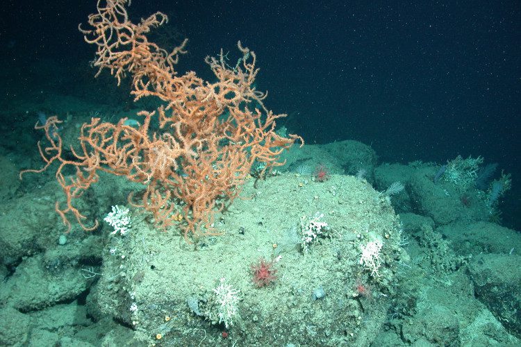
Deep-sea corals are of particular conservation concern due to their slow growth rates and vulnerability to disturbance. Predicitive modeling of deep-sea coral habitat can aid conservation planning, inform management of offshore activities affecting the seafloor, and guide exploration. Modeling can also lend insights into the environmental factors driving the distribution of deep-sea corals, helping to… Continue Reading Predictive Modeling of Deep-sea Coral Habitat
Maps
Maps from study or data
Fishery Management Areas
Management areas are created by the Gulf of Mexico Fishery Management Council to achieve the goals of the Magnuson-Stevens Fishery Conservation and Management Act. This interactive map allows users to view fishery management areas, boundaries, and their associated fishing regulations in the Gulf of Mexico. Launch map
Essential Fish Habitat Map
Three fishery management councils – the Gulf of Mexico, South Atlantic, and U.S. Caribbean – are responsible for identifying essential fish habitat (EFH) for federally managed species in the southeast United States. Fish require healthy surroundings to survive and reproduce. Essential fish habitat includes all types of aquatic habitat – wetlands, coral reefs, seagrasses, mangroves… Continue Reading Essential Fish Habitat Map


